 |
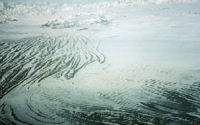
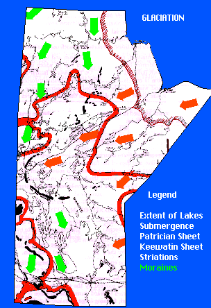
In the advance of these ice-sheets, the ice removed more than the loose material which lay on top of the bedrock; most of the drift was derived chiefly from glacial wearing of the bedrock, as shown by rock surfaces polished, planed, and striated by glacial erosion. An enormous volume of material was deposited. The great weight of the ice-sheet, estimated to have had an average thickness of 3,500 feet, caused a depression in the central part of the area covered by ice. This had a great effect on the succeeding development of the land surface, as the depressed land rose gradually during and following the retreat and melting of the ice-sheets. The significant result of this topography was that as the front of the ice-sheet melted, the water could not drain away, being trapped between the 3500 foot-thick glacial sheet and the height of land. As a result, huge glacial lakes formed in front of the retreating glaciers. |